Plate 19 · Earth
Where Volcanoes Come From
Beneath the crust there is no sea of melted rock. The rock inside the Earth is almost entirely solid; rock melts only in a few special kinds of places, and that is where volcanoes grow.
Scroll
The World’s Volcanoes
The Smithsonian Institution’s Global Volcanism Program lists 1,214 volcanoes that have erupted, or may have, in roughly the last 12,000 years. Put them on the globe and most line up along plate boundaries, above all around the Pacific.
The red ones stand where plates collide and one dives beneath the other — about seven in ten. The teal ones are where plates pull apart; the yellow ones sit in the middle of a plate; a few grey ones have no setting recorded.
Volcanoes: Smithsonian Institution, Global Volcanism Program
A Sinking Plate Carries Water
When an ocean plate dives under another, it carries wet rock down with it. About a hundred kilometers down, the water is squeezed out and seeps into the hot rock above.
Wet rock melts more easily, the way salted ice melts more easily. The melt is lighter than the rock around it, so it slowly rises and builds a line of volcanoes on the surface — like Japan, or the Andes of South America.
Cross-section, schematic · left: plates pulling apart; middle: a hot spot; right: a plate diving
Where Plates Pull Apart
At mid-ocean ridges, two plates pull away from each other and hot rock below rises to fill in. Deep down, rock is squeezed so hard it stays solid even when it is hot enough to melt. As it rises, the squeeze eases, and some of it melts.
Most of the Earth’s magma forms quietly like this, on the seafloor, making new ocean floor. Most of it erupts unseen, deep underwater, so it barely shows on the map. Iceland is where a ridge and a hot spot meet: so much magma that the ridge rises above the sea.
Hot Spots
Some volcanoes sit far from any plate boundary — Hawaii, for one. Scientists think a column of unusually hot rock rises slowly from deep in the mantle there: a hot spot.
The hot spot stays nearly still while the plate moves over it. Each volcano is carried away once it is built, and a new one grows over the hot spot, so they line up in a long chain.
A Chain That Tells Time
The farther from the hot spot, the older the volcano: West Maui about 1.3 million years, Kauai about 5.1 million, Midway about 27 million.
Divide distance by age and you get the speed of the Pacific plate: about 9 centimeters a year — more than twice as fast as your fingernails grow.
Volcano ages: Clague & Dalrymple (1989); Midway: Dalrymple et al. (1977)
A Cone Above Sinking Plates
Here is a real volcano, cut through its summit: Mount Fuji, at 3,776 meters the highest volcano in Japan, which stands above sinking plates.
Fuji is a stratovolcano, a steep cone of lava flows layered with the cinders and ash of explosive eruptions. In this elevation data, its slopes above 2,500 meters average about 30 degrees.
Japan · 35.4°N 138.7°E · cut through the summit · heights × 2.5
A Shield Over a Hot Spot
Beside it, at the same scale, is Mauna Loa, 4,169 meters high, which grew over the Hawaiian hot spot. It is only a little taller than Fuji, and far broader.
Mauna Loa is a shield volcano, built from thin flows of runny lava that pour from its summit and from long rifts on its flanks, traveling far before they stop. Most of its slopes are under 10 degrees.
Mount Fuji and Mauna Loa · one scale · heights × 2.5
Measured From Its Base
Above the waves, Mauna Loa rises a little more than 4 kilometers. Its flanks carry on beneath the sea for another 5, down to the ocean floor.
Its weight has pressed that floor down another 8 kilometers. Measured from its base, then, the summit stands about 17 kilometers high, almost twice the height of Everest above sea level. With a volume of at least 75,000 cubic kilometers, Mauna Loa is the largest active volcano on Earth.
Island of Hawaii · 19.5°N 155.6°W · 200 km across · heights × 2.5
Erupting Lately
On this list, 231 volcanoes have erupted since the year 2000. About four in five of them are where one plate dives beneath another.
Your Turn
Change how fast the plate moves and watch the volcanoes line up over the hot spot: the faster the plate, the farther apart they end up.
Try thisSpeed the plate up to 20 cm a year: which moves, the hot spot or the volcanoes?
What the model leaves out
The cross-section puts three kinds of magma-making places side by side; in the real world they are far apart, and sizes and depths are not to scale. The chain’s ages mark when each volcano finished most of its growth; the hot spot itself is about a hundred kilometers wide, so the youngest volcanoes give speeds that come out too fast. Whether hot spots really rise from deep in the mantle is still being studied. The two real volcanoes are drawn with heights stretched 2.5 times. Beneath Mauna Loa’s ocean floor, the bowl showing how far its weight has pressed the crust down takes its depth from the US Geological Survey’s figure of about 8 kilometers; its shape is only sketched. Elevation data smooth summits a little: Fuji’s highest grid point sits about 40 meters below the surveyed 3,776 meters.
A common misreading
There is no layer of melted rock under the crust; the mantle is almost entirely solid. Magma forms mainly when water is added to hot rock (where plates dive), or when hot rock rises and the pressure on it drops (where plates pull apart, and at hot spots, where the rock is hotter than usual). That is why volcanoes don’t pop up just anywhere. And a steep cone does not always mean sticky lava: most of Fuji’s lava is basalt, the same runny kind that built Mauna Loa. Its steepness comes from the layers of cinders and ash, thrown out by explosive eruptions, between its lava flows.
Sources
- Smithsonian Institution, Global Volcanism Program: Volcanoes of the World
- USGS Volcano Hazards Program: About volcanoes
- USGS, This Dynamic Earth: Hotspots
- Dalrymple et al. (1977): Revised age for Midway volcano, Hawaiian volcanic chain
- USGS Hawaiian Volcano Observatory
- USGS Hawaiian Volcano Observatory: Mauna Loa
- USGS: Geology and History of Mauna Loa
- Smithsonian Institution, Global Volcanism Program: Fujisan
- Smithsonian Institution, Global Volcanism Program: Mauna Loa
- Geospatial Information Authority of Japan: the elevation of Mount Fuji (2024, in Japanese)
- USGS: Principal Types of Volcanoes
- USGS: Volcanoes of the United States (shield volcanoes)
- Terrain Tiles on AWS Open Data: real terrain
- ESA WorldCover 2021: land cover
Data
Volcanoes: Global Volcanism Program, Smithsonian Institution, Volcanoes of the World database. Plate boundaries: P. Bird (2003), PB2002; GeoJSON by H. Ahlenius (Open Data Commons Attribution License). Elevation and seafloor (globe colors, Mount Fuji, Mauna Loa): Terrain Tiles on AWS Open Data; ETOPO1, NOAA; GMTED2010 and SRTM, USGS. Land cover (Mount Fuji, Mauna Loa): ESA WorldCover 10 m 2021 v200 (CC BY 4.0).
Follow the question
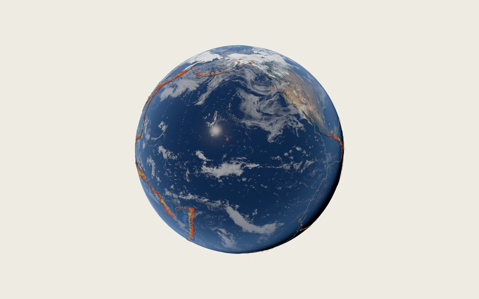 Plate 14The Cracks in the EarthA year’s 7,700 strong earthquakes fall mostly along a few lines: the edges of the pieces of the Earth’s shell.
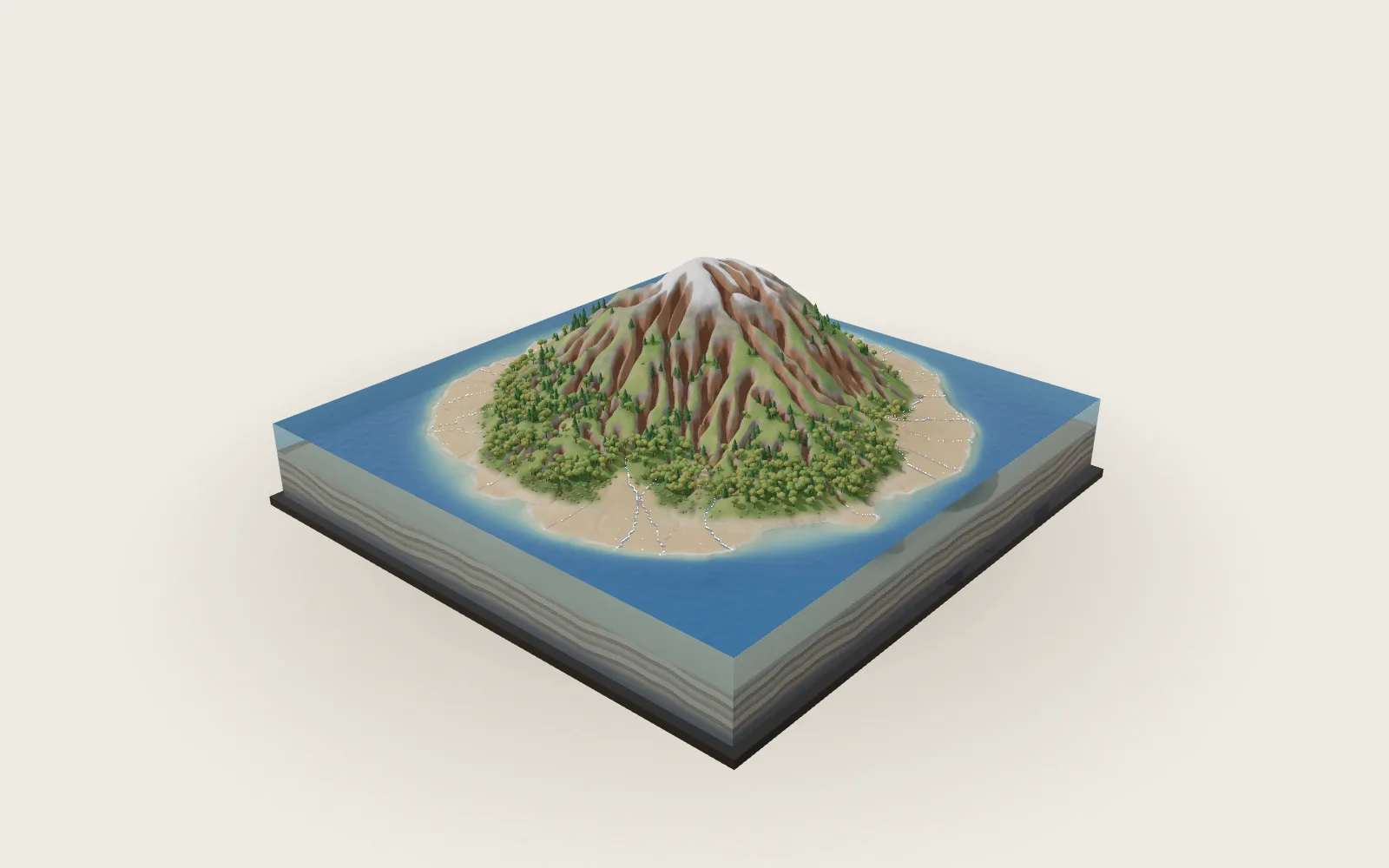 Plate 01How Rain Carves a MountainA single storm changes almost nothing. But the rain never stops.